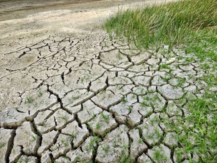
In recent years, Mediterranean areas, although considered rather resistant to drought events, have been characterised by increasingly frequent and important drought events. In particular, forests are among the ecosystems most significantly impacted, especially if drought occurs during a prolonged period of abnormal heat. Several studies have shown that forest species respond differently to extreme events depending on the intensity and duration of the event. Often this response is aggravated by specific local environmental conditions and is even more complex where vegetation cover is very heterogeneous. However, the high cost of in-situ measurements does not allow the collection of sufficient data to assess the large-scale effects of the natural event.
This exploratory study analyses the response of five forest areas located in Basilicata (South of Italy) following a long period in the summer of 2017 characterised by low rainfall and high temperatures. It highlights a substantial consistency between the decrease in the mean NDVI value in the study areas (estimated with the Sentinel-2 sensor) in the post-event period and the vitality of individual trees and other non-trees (meadows, shrubs, etc.) assessed by the Mannerucci and Raunkiær methods, respectively.
In particular, the comparative analysis between satellite and in situ data was carried out considering the percentage of damaged trees (assessed by the Mannerucci method), regardless of species.
The results show that the tree layer appears to be decisive in the decrease of NDVI values; in fact, the latter is proportional to the number of damaged trees (R2=0.98 for the period July-October 2017). However, the analysis of the remaining vegetation layers can not only be considered a valid support in interpreting the response of forest ecosystems in the analysed period, but it also shows that the structure/composition of the undergrowth represents a crucial element in the recovery phase.
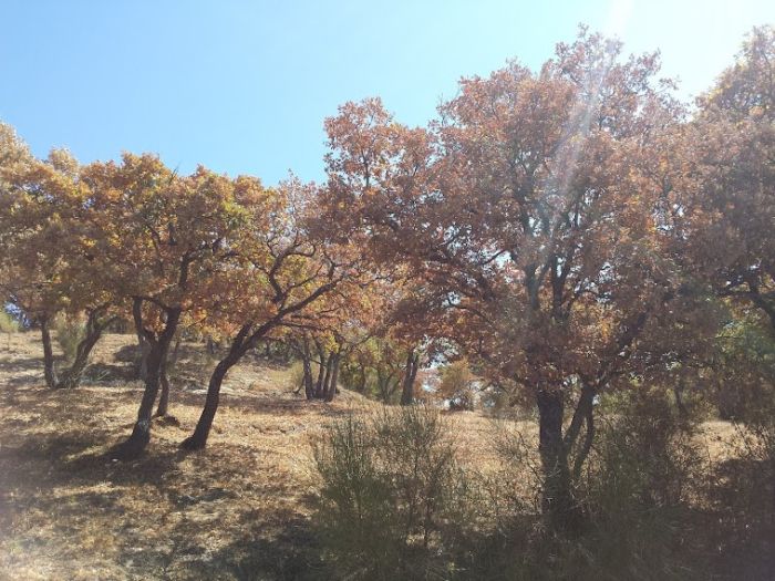
In general, the work shows the suitability of the Sentinel-2 NDVI index in estimating the damage suffered by vegetation at an adequate spatial resolution (10 metres) and in accounting for the damage suffered by other types of vegetation (undergrowth) that make up forest areas. This is an important result because it shows how Sentinel-2 data, distributed free of charge and with a good acquisition frequency (about 5 days), are particularly useful in the continuous monitoring of forests, especially during extreme events, as they are able to provide information on large areas while taking into account the specific characteristics of local variability.

The article was included in the list of “notable articles” compiled by Land MDPI magazine to mark International Forest Day on 21st March 2021.


